Furacao – Stock Foto ID: 337055288/Shutterstock.com
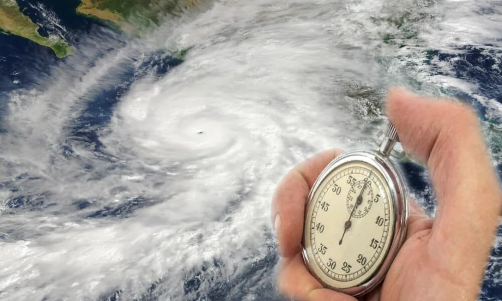
Hurricane Melissa intensifies in the central Caribbean and is expected to hit Jamaica as a Category 5 between late Monday and early Tuesday. Authorities issue alerts for flash floods and landslides in vulnerable southern and eastern areas of the island. The U.S. National Hurricane Center tracks the slow-moving system, which strengthened from tropical storm to Category 4 in under 48 hours.
Sustained winds reach 130 mph on Sunday, with gusts exceeding 160 mph in some sectors. The path directs a direct impact on Jamaica’s southern coast, followed by passages over southeastern Cuba and eastern Bahamas. Experts note favorable ocean conditions, including water temperatures above 84°F, fueling the rapid strengthening.
Melissa formed on Tuesday as the 13th named storm of the 2025 Atlantic season. Initially, the system produced heavy rains in Haiti and the Dominican Republic, causing three deaths from landslides. The hurricane now moves at 5 mph westward but is forecast to turn northeast starting Monday.
Projected path and issued alerts
Melissa follows a route leading straight over Jamaica, with landfall anticipated near Kingston. The National Hurricane Center issues hurricane warnings for the island’s south, including Kingston and Montego Bay.
Models indicate the hurricane’s center will pass within 30 miles of the Jamaican coast, generating storm surges up to 13 feet. Local officials activate shelters and suspend flights at Norman Manley Airport.
- Winds over 155 mph in Category 5;
- Rainfall totals of 15 to 25 inches in the east;
- Risk of isolating rural communities for days.

Explosive intensification observed
Satellite images capture Melissa’s well-defined eye with deep convection surrounding it. The hurricane climbed from Category 1 to 4 between Saturday and Sunday, a rare process driven by low wind shear.
NOAA reconnaissance aircraft confirm a central pressure of 940 millibars, typical of intense systems. Caribbean waters with elevated temperatures at depth serve as fuel for further strength gains before landfall.
This acceleration ranks Melissa among the season’s fastest-intensifying hurricanes, exceeding historical October averages.
Hydrological risks in the Caribbean
Flooding poses the primary threat to Jamaica and surrounding areas. European models project over 20 inches of rain in 72 hours in the island’s east, enough to overflow rivers like the Rio Cobre.
In southern Haiti, prior rains already caused damage, and new precipitation worsens conditions. Eastern Cuba faces similar alerts, with evacuations in Guantánamo.
Landslides occur on steep slopes, affecting villages such as Portland Cottage. Rescue teams position in high-risk zones.
Coastal roads face erosion risks, with basic infrastructure recovery estimated in weeks.
History of impacts in Jamaica
Jamaica records powerful hurricanes, but none at Category 5 since 1951. The last major event, Gilbert in 1988, brought winds of 185 mph and $4 billion in damages.
Melissa exceeds initial projections, with potential to set local intensity records. The coastal population of about 2.5 million mobilizes emergency supplies.
Tourists depart the island, with hotels in Kingston emptying quickly. The government declares a state of emergency to coordinate responses.
Local preparation measures
Residents in vulnerable zones like Rocky Point move belongings to higher ground. Jamaica’s Office of Disaster Preparedness distributes kits with water and food.
Schools and businesses close from Sunday evening. Armed forces support barricades at flood-prone bridges.
- Fuel stocks limited at stations;
- Hospitals operate with backup generators;
- Communication lines reinforced against outages.
These actions aim to minimize human losses amid destructive winds.
Subsequent passages over Cuba and Bahamas
After Jamaica, Melissa crosses southeastern Cuba late Tuesday as a Category 4 or 5. Winds of 125 mph threaten cane plantations and homes in Santiago de Cuba.
On Wednesday, the hurricane strikes eastern Bahamas, with storm surges affecting low-lying islands. The National Hurricane Center extends warnings to these areas.
The post-Bahamas track points to the open Atlantic, with possible weakening over cooler waters.


